Mount Washington
New Hampshire
August 2013
What’s that, up there in the clouds…? N’wait, it disappeared. Oh, there it is again. Hey, it’s a building. It’s the hut. Y’know what? Let’s take a break, get out of this wind for a bit. Figure this out.
The Appalachian Mountain Club was founded in 1876. Their mission was and is to “…promote the protection, enjoyment, and understanding of the mountains, forests, waters and trails of the Appalachian region.” It is the oldest outdoor recreation and conservation organization in the country. In 1888, they built their first hut, at Madison Spring within the White Mountain National Forest in New Hampshire. Now there are eight huts up here in the White Mountains, spaced about a day’s hike apart. All eight are off the grid, powered by wind, water and solar energy.
3.1 linear miles and 2500 feet in altitude up from our trailhead, we arrive at this hut, the Lakes of the Clouds. There are <two> alpine lakes here, so we’re stuck in the plural. (If you prefer the smoother sounding “Lake of the Clouds”, go to the Chin on Mount Mansfield, Vermont, and hike north six tenths of a mile. There’s only one lake there.)

We have climbed about half a mile up into the sky so far today. Perfect placement of this hut. We’ve earned this break. Right now.
Upon entering the building, we lower our jacket hoods and the first thing we notice is the stillness. It’s actually not that quiet or still in here, but compared to the roar of the wind outside, it’s positively monastery-ish.
This hut has lavatories, a kitchen, coed bunk rooms, enough room to sleep 90 hikers. We’re staying just long enough to have some lunch and recharge.
My back spasms have calmed down — hiking up this steep mountain would either smooth them out or completely incapacitate me. I am surely not incapacitated but the pain has left me weak and feeling crappy. Lisa says, “Eat.” So I eat, and I feel much better. She’s good for me. So is the food.
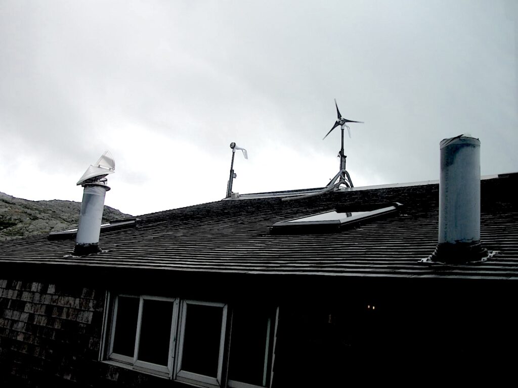
At this point in our climb, may I refer you to my column called Mount Washington Blows Me Away, at http://asiwentwalking.com/Mount Washington Blows Me Away/. Here you will find descriptions of the famous, outrageous Mount Washington wind.
Our rest completed, wind be damned! We are on a mission. We gather our gear and start up from the hut on the Crawford Path.
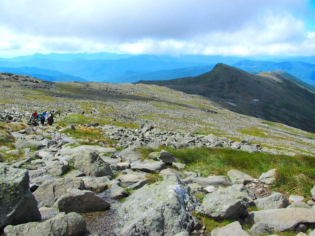
From the hut, the rest of the hike is open, exposed and uphill, and as you can see, somewhat rocky. Somewhat rocky. Ha!
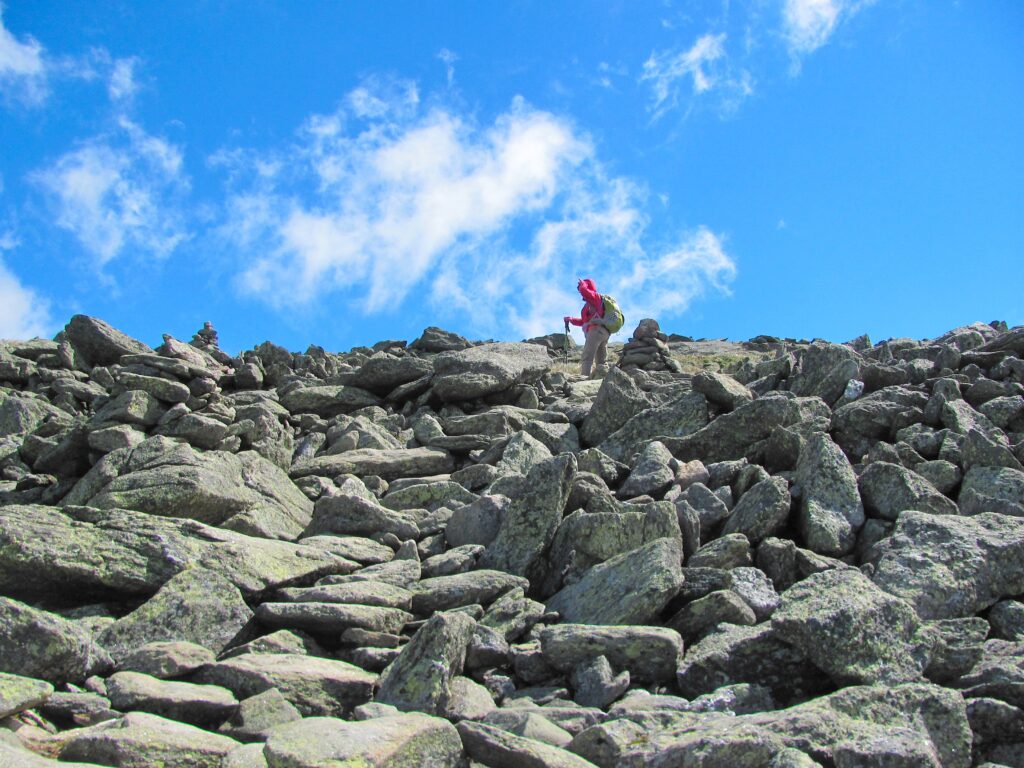
Sit down, I have to tell you something. Two hundred fifty thousand people visit the top of Mount Washington each year. Do the math. 685 people will visit the summit each day, if each day were an average day. But each day is far from average. Winters are so harsh that almost no one is nuts enough to try to summit, or even to drive up. Summer is tourist season.
Clearly today is an un-average day. There must be 685 people on the trail behind me, between here and the half mile back to the hut. Later up on the summit, I’m sure there are at least 685 people in the men’s room. Yeah, there’s a men’s room in this wilderness.
There are a number of ways to indicate where hiking trails are, the actual footpaths. One popular method, especially in the forested eastern part of the country, is to paint two inch by six inch stripes on the trees, or to nail a colored 2×6 plastic or wood piece to the tree. For example, the Appalachian Trail, which we are on for a short distance today, has a series of white blazes on the trees, stretching for most of its 2181 miles. Near my home town, there is the Laurel Highlands Hiking Trail. The main trail is blazed in yellow and connector trails in blue.
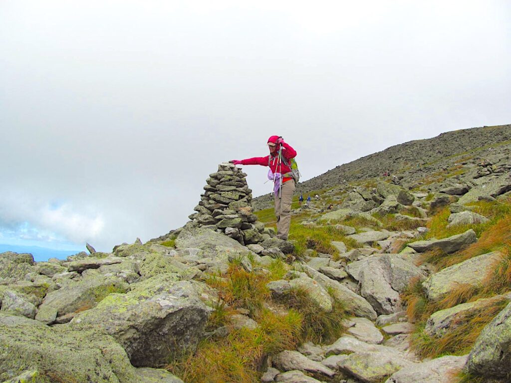
What do you do when there are no trees to blaze upon? On today’s hike, we left the trees quite a ways back. We could paint blazes on the rock. That’s not uncommon, but something about that feels discourteous, disrespectful. Come colder weather, those painted rocks will be buried under snow for, oh, six months or so anyway, so this isn’t such a good idea.
Hmm, let’s see. There sure are a lot of rocks here. Rocks, eh? How about if we pile them up, high enough so that even when there is snow, we will still be able to find the rock piles. Let’s pile them up and call them “cairns.” Yep, that’s what we’ll do.
Now what’s this? Here comes a couple of young women down the trail with backpacks, but their backpacks are loaded with cardboard boxes. What’s more, one is wearing a tu-tu and fiery pattern leggings. I would call that unconventional hiking attire. Unconventional, but not weird. At Mount Katahdin in Maine, a hiker was wearing a kilt.
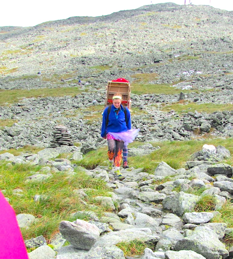
Later, carrying the same type of load, comes… Spider-man. Spider-man!
Lisa suggests that someone drove supplies up to the summit and the ballerina and Spidey are carrying stuff down to the hut. Makes sense since you can only get to the hut on foot.
These are fun people to see. I mean, after all, how often… So I try to show them a big smile, a hearty hello, but no, they are having no part of it. They are seriously focused on the trail. First of all, they are coming down, and coming down on rock under the best of circumstances requires concentration. Then there is the wind. You have this six foot high stack of cardboard boxes (wind catchers) strapped to your back, you don’t have time for some silly, grinning rube to say hello. So much for superheroes.
Continuing on the rock trail we get our first sighting of the summit as the clouds blow off.
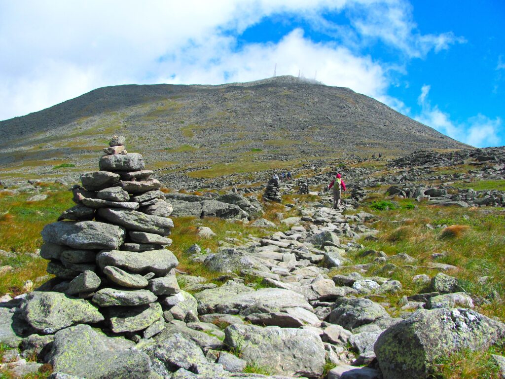
Those towers up there are for FM radio broadcast, NOAA weather radio and weather instruments.
Although we did just get a sneak peak at our destination, it quickly disappears. During most of our hike from the hut, the summit is, because of the encompassing cloud cover, a rumor, a theory. We take it on faith that there is a summit and that it is there, up ahead of us. This rumor is intermittently visually confirmed.
Our climb from the Lakes of the Clouds hut to the summit is 1.6 miles on exposed rock, ascending every step. Our volunteer at the hut warned us that the air is moving at hurricane force. We learn what that feels like.
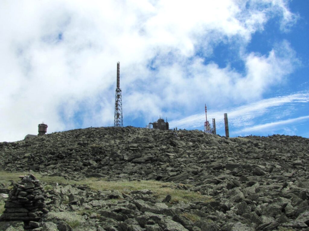
Almost there. Just a short connector trail now. There is no “entry” when we actually get to the plateau at the top of Mount Washington. Even so, it feels like we are coming in the back way, behind some building or another, and then here we are, among the crowds.
The crowds, the observatory, a museum, television buildings, transmission tower and power house, an observation deck, restaurants, three parking lots, a gift shop, a post office, a patio, rest rooms of course, and a high point where we had to wait in line to briefly summit.
We have crested and begin walking among the buildings and crowds. I’m thinking to myself, after all the organic goodness we’ve just hiked through, and how good it feels to have propelled ourselves all the way up under our own power, “Why anyone would drive up here is beyond me.” And just moments later, as we walk through the crowds, I swear I hear someone say to his companion, “Why anyone would hike up here is beyond me.”
